Web Tools · Photos to GIS

Photos to GIS — Put Your Site Photos On The Map.

Drop in geotagged photos and get GIS-ready files back — KML/KMZ, GeoPackage, Shapefile, GeoJSON and a shareable web map, with each photo embedded in its location pin along with the direction it was taken. Free with a KeoGeo sign-in.
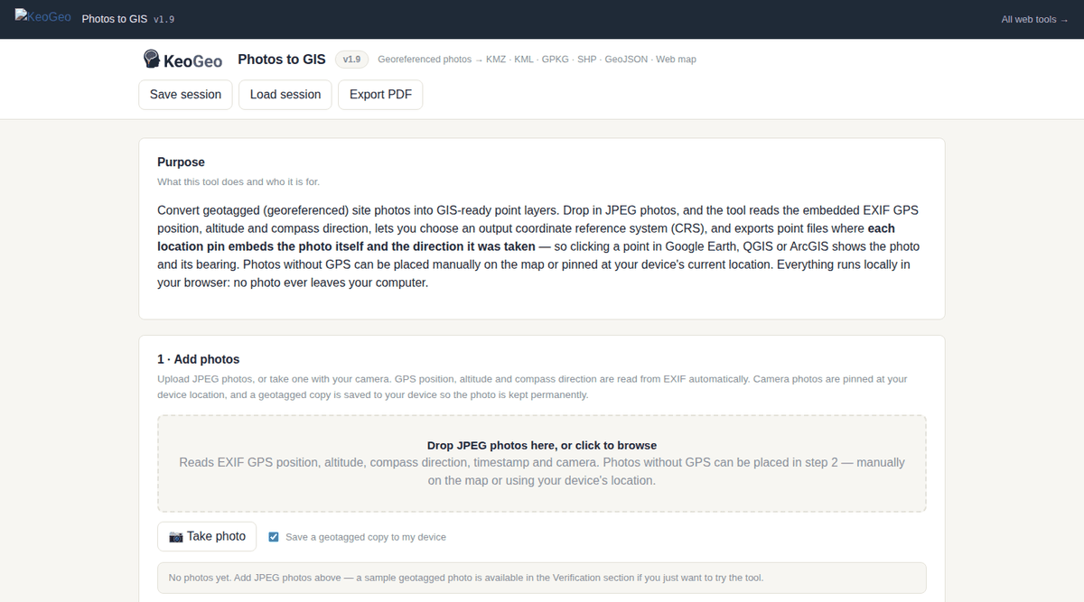
Photos to GIS web app — photo intake with EXIF GPS, map preview with basemaps, and export settings

One screen: add photos, check them on the map preview, pick your coordinate system and export.

What It Does

From Camera Roll To GIS Layer, Without The Desktop Software.

Photos to GIS reads the GPS EXIF data straight from your photos and turns them into mapped point layers:

  • EXIF GPS extraction — position, altitude and compass direction read automatically from each photo; photos without GPS can be placed manually on the map or pinned at your device's current location.
  • Take photos in the field — capture straight from your camera; the photo is pinned at your device's location and a geotagged copy (GPS written into the EXIF) is saved permanently to your device so nothing is lost.
  • Choose your coordinate system — WGS84 by default, or GDA2020 / GDA94 geographic and MGA grid coordinates with automatic zone detection.
  • Six export formats — KML, KMZ, GeoPackage, Shapefile, GeoJSON and a standalone web map HTML.
  • Photos embedded in the pin — click a point to see the photo, its label and the direction the photo was taken.
  • Editable labels — rename every point before export; labels are shown beside the pins in the exported web map.
  • Shareable web map — one HTML file with OpenStreetMap, Google Satellite, Google Maps and Google Roads basemaps that anyone can open in a browser — no GIS software or Google account needed.
  • Private by design — photos never leave your device; everything runs in your browser.
Example Outputs

What You Get Out Of It.

GIS Files

KML and KMZ for Google Earth, GeoPackage and Shapefile for QGIS or ArcGIS, and GeoJSON for web tools — all with photo, label, altitude and direction attributes.

Shareable Web Map

A single HTML file with photos embedded in the location pins — click a point to see the photo, label and camera direction over four switchable basemaps.

Coordinates Your Way

WGS84 by default, or GDA2020 / GDA94 geographic and MGA grid exports with the zone detected automatically from your photos.