
Import your investigation locations, site boundary and alignments, style and label them, frame them in a CAD-style title block with grid, legend, north arrow, scale bar and locality inset, and export a georeferenced PDF — what you see on screen is exactly what prints. Free with a KeoGeo sign-in; batch sheets along an alignment with KeoGeo Pro.
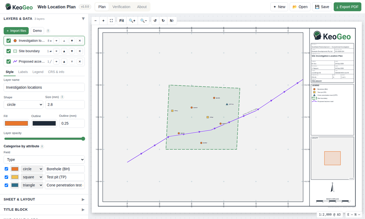
One screen: the sheet is the map — drag to pan, scroll through standard scales, rotate the frame, then export the PDF.
Web Location Plan reads your site data, detects the coordinate system and lays it out on a titled sheet:
A finished location plan — title block, grid, legend, north arrow, scale bar and inset — as a vector PDF that GIS software reads coordinates from. Open the PDF in the app later to restore the whole project.
Borehole and test-pit plans, monitoring layouts and locality figures at standard scales, on any page size, in three template styles that stay consistent across a report.
A multi-page PDF along a road, rail or pipeline alignment or across a wide site — every page numbered, georeferenced and keyed on a locality inset.
Use an account you already have. Your first sign-in creates your KeoGeo account automatically.
Card details are handled by Stripe and never touch KeoGeo.